Key Highlights
- La Niña, the cool phase of the El Niño-Southern Oscillation (ENSO), has officially begun, impacting weather patterns across the globe.
- Characterized by cooler-than-average water temperatures in the central and eastern Pacific Ocean, La Niña’s influence is already being felt.
- While its effects are predicted to be weak this cycle, La Niña can influence the jet stream, potentially leading to wetter, cooler conditions in the northern U.S. and drier, milder weather in the south.
- Forecasters predict this La Niña event to be short-lived, with a return to neutral conditions possible by spring 2025.
- Stay informed about local weather forecasts as La Niña’s influence can create variable regional weather patterns.
Introduction
The National Weather Service has shared that La Niña is here. This climate pattern is famous for cooling the waters of the Pacific Ocean, as noted by NOAA’s Climate Prediction Center. It also changes weather patterns across the globe. La Niña is the opposite of El Niño. This shift can affect temperatures and weather from one season to another. As we start a new year, it’s important to know about La Niña and how it might affect the climate in different areas.
Understanding La Niña and Its Climate Influence

La Niña and El Niño are not separate events. They are two sides of a climate pattern known as the El Niño-Southern Oscillation (ENSO). This pattern goes back and forth between warm and cool phases. These changes affect weather all over the world. It is important to keep track of and understand them.
When La Niña arrives, it causes certain ocean conditions. These conditions lead to changes in the atmosphere. These changes affect the jet stream, wind patterns, and rainfall levels. As a result, they can change the climate in different regions around the world.
Defining La Niña: A Pacific Ocean Phenomenon
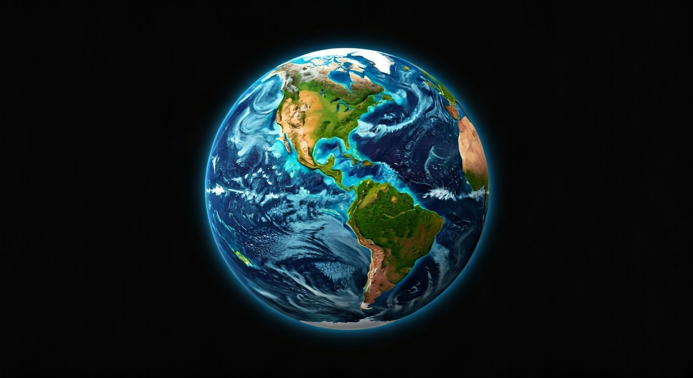
La Niña starts in the tropical Pacific Ocean. This ocean is very important for the global climate as it encompasses a key area of the eastern Pacific. Unlike El Niño, which warms the water, La Niña cools the surface waters in the central and eastern Pacific.
This cooling happens because the trade winds get stronger. These winds blow from east to west across the ocean. When the winds become more intense, colder water from deep in the ocean rises to the surface in the eastern Pacific. This makes the sea surface temperatures lower.
To call it a La Niña event, the sea surface temperatures in certain areas of the eastern Pacific must fall at least 0.5 degrees Celsius (or 0.9 degrees Fahrenheit) below the normal level. These small changes in ocean temperatures can affect weather patterns far away from where they start.
The Science Behind La Niña’s Impact on Global Weather Patterns
To understand how La Niña affects the weather worldwide, we should look at its effect on the jet stream. The jet stream is a strong wind high up in the atmosphere that moves weather systems around the world. The Climate Prediction Center watches these changes closely. They want to give us timely forecasts and alerts.
La Niña is linked to cooler Pacific Ocean temperatures. This can change the usual path of the jet stream and the storm track, affecting its strength and direction. These changes can lead to differences in temperature, rainfall, and storm paths in different parts of the world.
For example, during winters with La Niña, the polar jet stream often becomes stronger and moves farther north. At the same time, the subtropical jet stream moves southward. These changes create colder and wetter weather in the Pacific Northwest and the northern U.S., as noted by the atmospheric administration. In contrast, southern states may see warmer and drier weather.
Conclusion
The arrival of La Niña has a big effect on weather around the world, especially milder winter weather. It is important to know about the La Niña phenomenon in the Pacific Ocean. This helps us predict how the weather will change, especially in winter in the United States. If we understand these climate changes, we can get ready for possible extreme weather and handle the challenges that come with it. While we can make predictions about how bad a La Niña winter might be, we should always be aware and keep up with changing weather patterns. This is key to reducing risks and taking smart steps to protect ourselves.
Frequently Asked Questions
What Distinguishes La Niña from El Niño?
La Niña and El Niño both impact climate in big ways. They are actually the opposite of each other. La Niña happens when sea surface temperatures in the central and eastern Pacific Ocean are cooler than usual. On the other hand, El Niño occurs when those temperatures are warmer than normal.
How Does La Niña Affect Winter Weather in the United States?
During a usual La Niña winter season, the southern states usually experience warmer and drier temperatures. In contrast, the Pacific Northwest and northern areas often face a cooler winter. They also receive more rain and may have more winter weather events.
Can We Predict the Severity of a La Niña Winter?
Predicting La Niña events is possible, but it is hard to know how much they will affect a specific winter season, especially when considering the fall months. The Climate Prediction Center looks at different factors to make forecasts and give the best predictions about future weather. Still, the climate system is unpredictable, which makes exact predictions difficult.


